Ville de Telopea (New South Wales)
Informations
Chiffres
- Code pays :
- AU
- Code postal :
- 2117
- Latitude :
- -33.79599
- Longitude :
- 151.04511
- Zone horaire :
- Australia/Sydney
- Fuseau horaire :
- UTC+10
- Heure d'été :
- Y
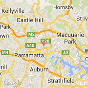
La ville de Telopea appartient à l'état New South Wales et à la région Parramatta.
Le nom anglais de la ville est Telopea.
©photo-libre.fr