Ville de Tarraganda (New South Wales)
Informations
Chiffres
- Code pays :
- AU
- Code postal :
- 2550
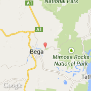
- Latitude :
- -36.66759
- Longitude :
- 149.86666
- Zone horaire :
- Australia/Sydney
- Fuseau horaire :
- UTC+10
- Heure d'été :
- Y
La ville de Tarraganda appartient à l'état New South Wales et à la région Country West.
©photo-libre.fr