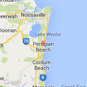
Ville de Peregian Beach (Queensland)
Informations
Chiffres
- Code pays :
- AU
- Code postal :
- 4573
- Latitude :
- -26.48061
- Longitude :
- 153.09563
- Zone horaire :
- Australia/Brisbane
- Fuseau horaire :
- UTC+10
- Heure d'été :
- N
La ville de Peregian Beach appartient à l'état Queensland et à la région Northgate Fwd.
La ville de Peregian Beach s'étend sur 3,5 km² et compte 2 687 habitants pour une densité de 767,71 habitants par km².
Le nom anglais de la ville est Peregian Beach.
©photo-libre.fr