Ville de Kenilworth (Queensland)
Informations
Chiffres
- Code pays :
- AU
- Code postal :
- 4574
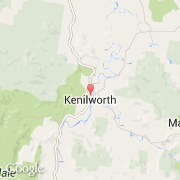
- Latitude :
- -26.59143
- Longitude :
- 152.72814
- Zone horaire :
- Australia/Brisbane
- Fuseau horaire :
- UTC+10
- Heure d'été :
- N
La ville de Kenilworth appartient à l'état Queensland et à la région Northgate Fwd.
La ville de Kenilworth compte 238 habitants.
Le nom anglais de la ville est Kenilworth.
©photo-libre.fr