Ville de Villa Uranga (Entre Ríos)
Informations
Chiffres
- Code pays :
- AR
- Code postal :
- E3100
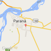
- Latitude :
- -31.76667
- Longitude :
- -60.48333
- Zone horaire :
- America/Argentina/Buenos_Aires
- Fuseau horaire :
- UTC-3
- Heure d'été :
- N
La ville de Villa Uranga appartient à la province Entre Ríos.
©photo-libre.fr