Ville de Schlagenthin (Sachsen-Anhalt)
Informations
Chiffres
- Code pays :
- DE
- Code postal :
- 39307
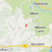
- Latitude :
- 52.46462
- Longitude :
- 12.27894
- Zone horaire :
- Europe/Berlin
- Fuseau horaire :
- UTC+1
- Heure d'été :
- Y
La ville de Schlagenthin appartient à l'état Sachsen-Anhalt, au district Jerichower Land et au bureau Elbe-Stremme-Fiener.
La ville de Schlagenthin s'étend sur 20,72 km² et compte 815 habitants pour une densité de 39,33 habitants par km². L'altitude moyenne est de 32 m.
Le site Internet de Schlagenthin est http://www.vgem-esf.de
©photo-libre.fr