Ville de Hochstadt am Main (Bayern)
Informations
Chiffres
- Code pays :
- DE
- Code postal :
- 96272
- Latitude :
- 50.15012
- Longitude :
- 11.17116
- Zone horaire :
- Europe/Berlin
- Fuseau horaire :
- UTC+1
- Heure d'été :
- Y
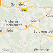
La ville de Hochstadt am Main appartient à l'état Bayern, au comté Oberfranken et au district Lichtenfels.
©photo-libre.fr