Ville de Antweiler (Rheinland-Pfalz)
Informations
Chiffres
- Code pays :
- DE
- Code postal :
- 53533
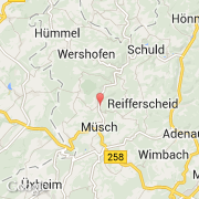
- Latitude :
- 50.40364
- Longitude :
- 6.83099
- Zone horaire :
- Europe/Berlin
- Fuseau horaire :
- UTC+1
- Heure d'été :
- Y
La ville de Antweiler appartient à l'état Rheinland-Pfalz, au comté Koblenz et au district Ahrweiler.
La ville de Antweiler s'étend sur 4,46 km² et compte 571 habitants (recensement de 2008) pour une densité de 128,03 habitants par km². L'altitude moyenne est de 310 m.
Le bourgemestre de la ville de Antweiler est actuellement Egon Honerbach.
Le nom français de la ville est Antweiler.
Le site Internet de Antweiler est http://www.antweiler.de
©photo-libre.fr